Your Mission. Mapped.

We build the tools public lands nonprofits need to welcome visitors, equip volunteers, and make the case for what they protect — trail maps, visitor engagement tools, stewardship apps, and advocacy visuals. You focus on the land. We'll make sure people can find it, explore it, and fight for it.
Who We Serve

Built for the Organizations Protecting Our Public Lands.

  • Friends groups supporting national wildlife refuges, parks, and forests

  • Park and monument conservancies and foundations

  • Natural history associations

  • Heritage and historical trusts

  • Regional public lands associations

If your organization supports public land, we'd love to help you map your mission.

TRAIL & VISITOR MAPS

Help People Find, Explore, and Love Your Land.
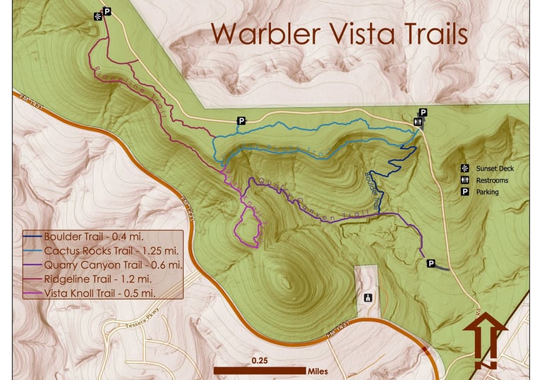
Interactive and downloadable maps tailored to your trails, public use areas, and points of interest — including geo-coded GeoPDF trail guides for offline navigation. Whether you need a simple printable map or a fully interactive web experience with photos, distances, and difficulty ratings, we build maps that welcome visitors and keep them coming back

VISITOR ENGAGEMENT

Bring Your Land to Life Beyond the Trailhead.
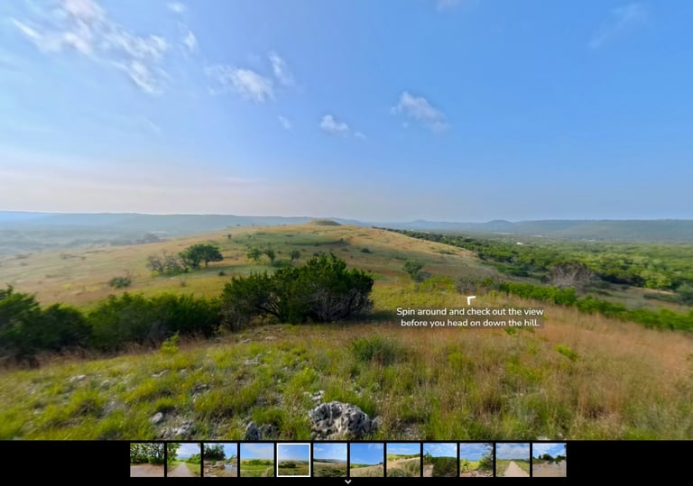
Virtual hikes, 360-degree panoramic experiences, and interactive tools that let people experience your land from anywhere — enticing future visitors, welcoming those who can't access rugged terrain in person, and connecting donors to the places their support protects. A powerful way to grow your audience and deepen public connection well beyond the trailhead.

STEWARDSHIP & FIELD TOOLS

Equip Your Volunteers and Staff for the Work Ahead.
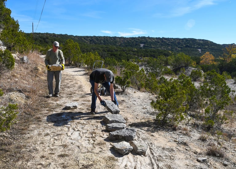
Custom mobile apps and location-based data collection tools built for the field — logging trail conditions, tracking restoration progress, reporting wildlife observations, and managing volunteer activities. iOS and Android compatible, with automatic location tagging and map-based dashboards for tracking progress.

Our Services

We handle the GIS so you can focus on the land. Purpose-built tools for Friends groups, conservancies, and public lands organizations.
ADVOCACY & OUTREACH

Turn Your Conservation Story into Something People Won't Forget.
Geospatial storytelling tools that communicate your mission to donors, legislators, and the public. From land protection campaigns to visitor program promotions, the right visual can turn complex information into a compelling case for your cause.

multicolored abstract painting

Making an Impact

See how Friends groups and public lands organizations are putting these tools to work.

Advocacy & Outreach

Mapping a Refuge's Growth, for Donors and the Press

When Friends of Balcones asked donors to help protect critical Hill Country habitat, it kicked off a four-year effort with The Conservation Fund to add more than 600 acres of habitat for the golden-cheeked warbler and black-capped vireo. GIS For The People created the map used to show donors exactly what their support achieved — the same map that later anchored the donor newsletter and appeared in a Texas Tribune story on the expansion.

Trail & Visitor Maps

Enhancing Trail Access and Public Engagement

GIS For The People partnered with Friends of Balcones Canyonlands NWR to create interactive and downloadable trail maps — including geo-coded GeoPDFs for offline use — supporting their Nearby Nature campaign and helping visitors explore the refuge's trails with confidence.

Visitor Engagment

Virtual Hikes at Balcones Canyonlands NWR

In partnership with the refuge, Friends of Balcones is creating virtual hikes using 360-degree panoramic photography — bringing the beauty of both accessible and rugged trails to visitors who may never set foot on them in person.

Stewardship & Field Tools

Trail Maintenance Reporting App

GIS For The People developed a trail maintenance reporting app for Friends of Balcones Canyonlands NWR, enabling refuge staff and volunteers to log, track, and manage trail repairs across the refuge — right from the field.

Ready to Map Your Mission?

Let's talk about the maps, tools, and stewardship apps that will help your organization reach further.

GIS For The People